

This is a full day hike, about 7 hours. It is very important that you bring extra water, good footwear and hat. See other advised items below.
AS EVER, ALL HIKERS ARE RESPONSIBLE FOR THEIR OWN SAFETY AND ACTIONS.
The hike will include river crossing (jumping and balancing on small bridges), some steep uphill and steep downhill (but the trails have clear steps). It is a long hike but you cannot say hard. The trails are very good.
If you feel you can manage this, the hike will offer us:
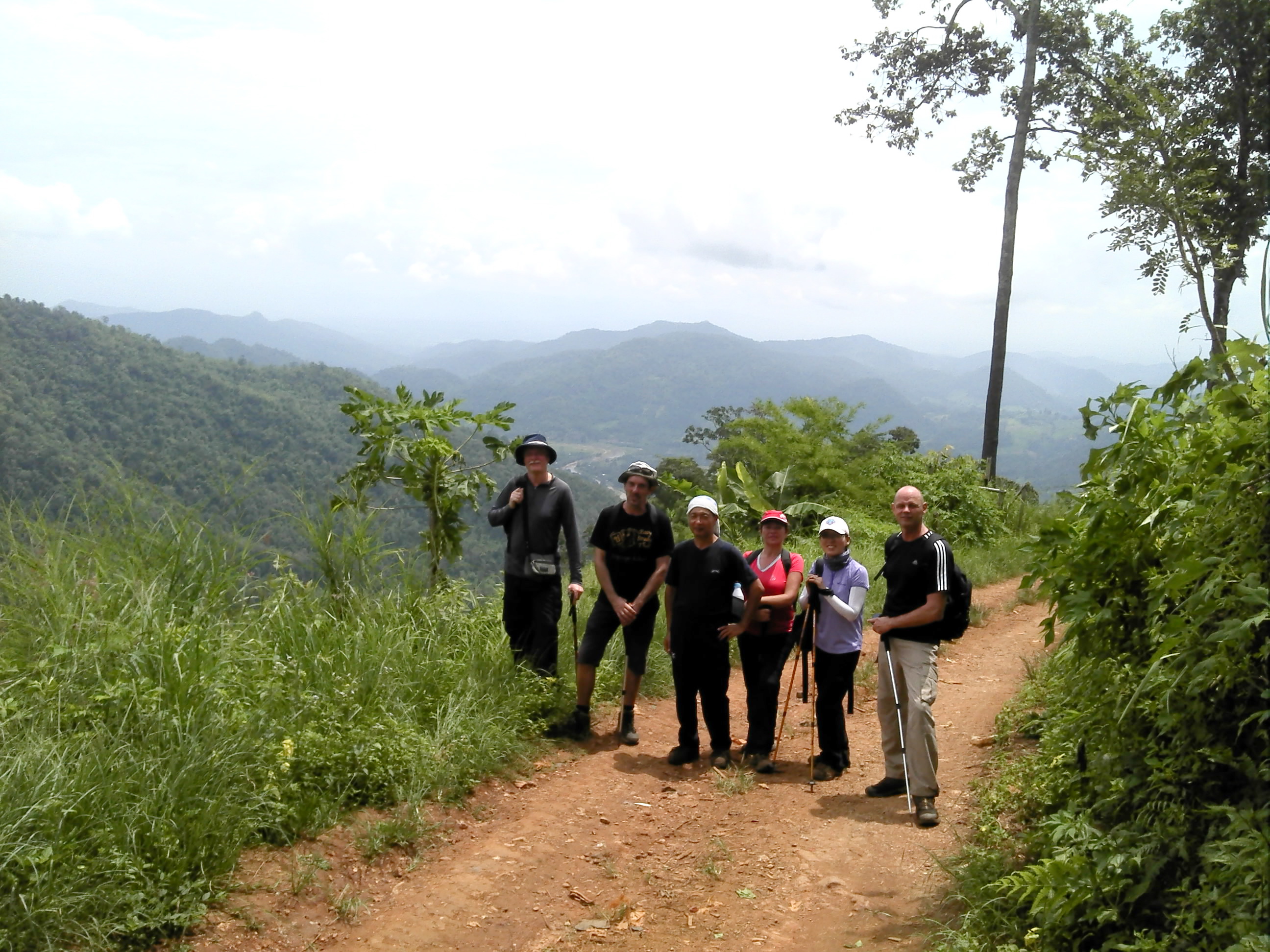
A varied hike with a lot of rushing streams and powerful waterfalls with opportunities for cool immersion. We will have spectacular views over Mae Taeng valley. The hike will also include a visit to two remote mountain villages. We will make many stops to enjoy the highlights of this hike.
Brief hike description:
We will hike up from Mae Taeng river (elevation 478 m) on a trail along a stream in a narrow valley,up to the first village (elevation 1022 m). From here we will hike on a small dirt road to the next village (elevation 904 m). The rest of the hike will follow a river with waterfalls, down back to Mae Taeng river.
After the hike we will relax at a small restaurant at the endpoint.
Hike leaders: Jenny & Anders
If you want to join,
Just turn up at the meeting place on the day and on time.
We cannot accommodate groups.
There is no need to let us know you are coming.
Meeting Place
This time we will meet at 07:00 am for an 07:10 hours start at the car park in front of the 700 years Stadium (please see the map).
We will share/pool cars and motorbikes and will drive to our starting point. The estimated driving time will be around 1 hour. Start point and end point are not the same. So we have to arrange with the cars.


Head straight out from the North West corner of the moat 2 km towards Doi Suthep on Huay Kaew Road (H.1004).
Turn right onto the Canal Road H.121
After 4.5 km you will see the traffic lights (don’t go into the Stadium area.)
When you are at traffic lights of 700 years stadium you will see the big parking area on canal road in front of 700 years stadium where we will meet.
Specially remember to bring:
- AT LEAST two litres of water
- Hat, sunblock
- Good footwear. Sandals may be useful for river-crossings (but not suitable for the whole hike)
- Hiking poles
- Towel and extra shirt for in-car pleasantness
- 100 Baht contribution for gasoline if you will be getting a lift
- Plenty of food/snacks.
Filed under: All posts |

ooh sounds cool, hope I can make it to the meeting point in time to join