• Follow Chiang Mai Hiking เดินเที่ยวป่าเชียงใหม่ on WordPress.com
  • ABOUT THIS SITE / เกี่ยวกับเว็บไซต์

  • On this website some experienced Chiang Mai hikers post open invitations to join their hikes in the area.
  • We use the date format YY/MM/DD where YY is the year, MM is the month and DD is the day of the month.
  • Hike descriptions may be posted at short notice. So it may be worth checking the website frequently.
  • Hikes may be cancelled or varied at short notice due to weather conditions or other factors. So it is advisable to check the website beforehand on the day of the hike.
  • ผู้มีประสบการณ์ในการเดินป่าที่อาศัยอยู่ในจ.เชียงใหม่ เป็นผู้โพสต์เชิญชวนให้คุณมาร่วมเดินป่าด้วยกัน รูปแบบ YY/MM/DD ที่ใช้ในเว็บไซต์นี้ YY คือ ค.ศ. MM คือ เดือน และ DD คือ วัน บางทริปอาจมีการโพสต์ขึ้นใกล้ๆกับวันเดินทาง จึงควรหมั่นเช็คข้อมูลในเว็บไซต์บ่อยๆ นอกจากนี้การยกเลิกหรือการเปลี่ยนแปลงข้อมูลก็อาจเกิดขึ้นได้ เนื่องจากสภาพอากาศและเหตุสุดวิสัย แนะนำให้ผู้ที่สนใจเช็คข้อมูลในเว็บไซต์อีกครั้งก่อนการเริ่มเดินทาง

2024/04/14_Report Khanin Valley (Avocado) Hike

Elephants, avocados and time to ‘smell the roses’…

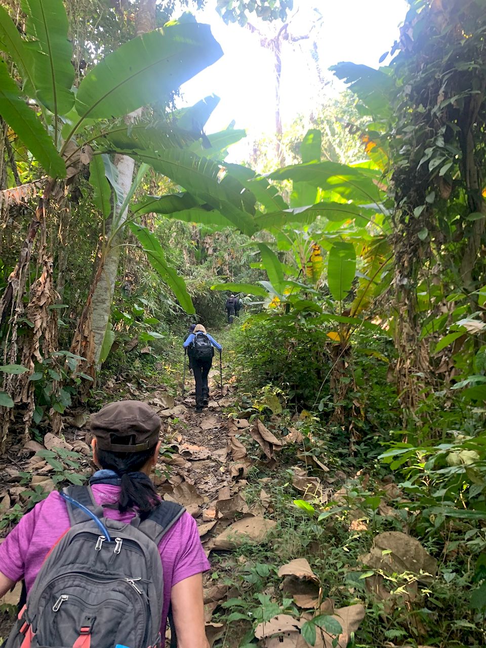
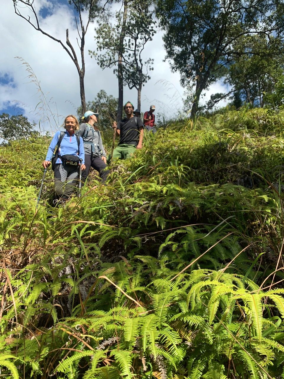
No fires but with the air still in a less than optimal state, 6 hikers joined the hike from the Thung Roeng Royal Project. We made good progress in the morning when the heat was not yet at its fullest.

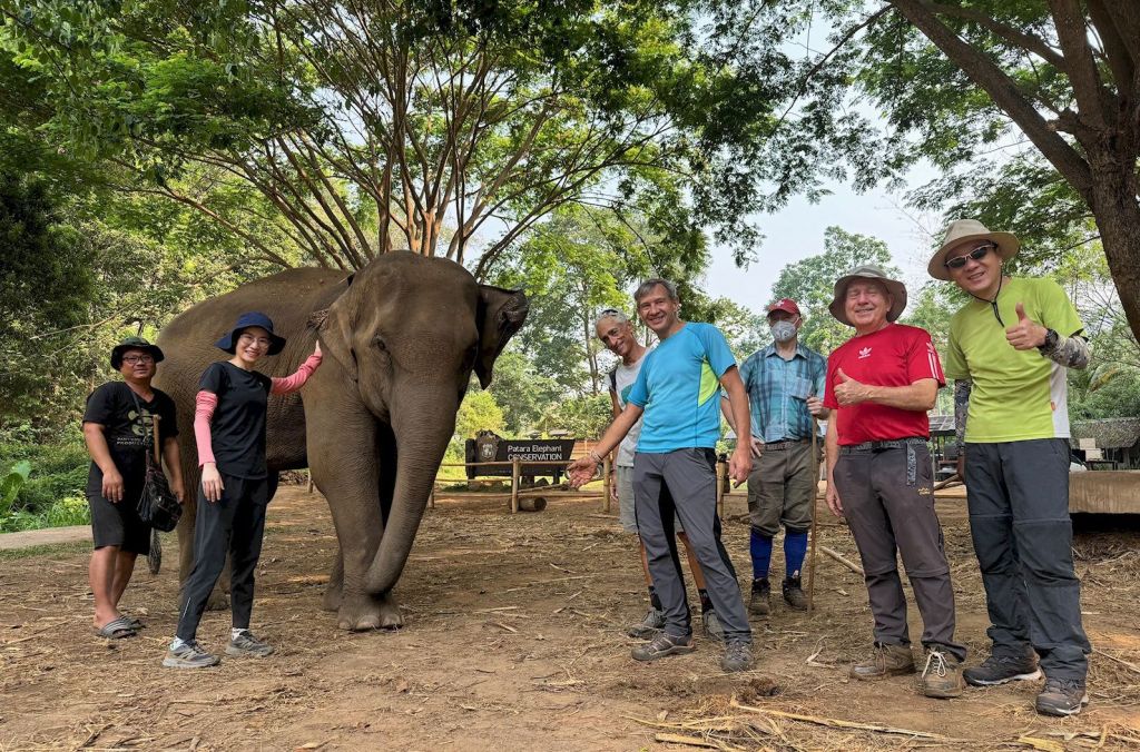
Arriving at the ‘Patara Elephant Conservation’ camp before any other tourists, we spend some baht on food for the elephants. Local celebrity elephant ‘Mira’ and her mother came and enjoyed being feed fresh bananas, and we enjoyed feeding them; a win-win!

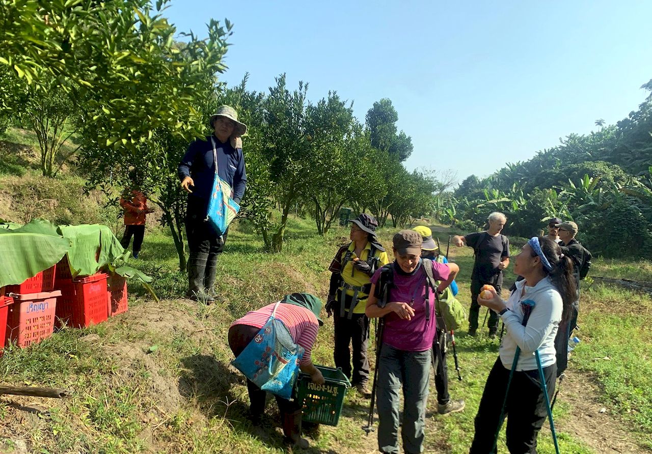
A visit to the coffee shop was on order as well. Whilst the avocados at the Royal Project are nowhere ready, here we got avocado ice-cream and avocado smoothies to go with local coffee.

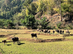
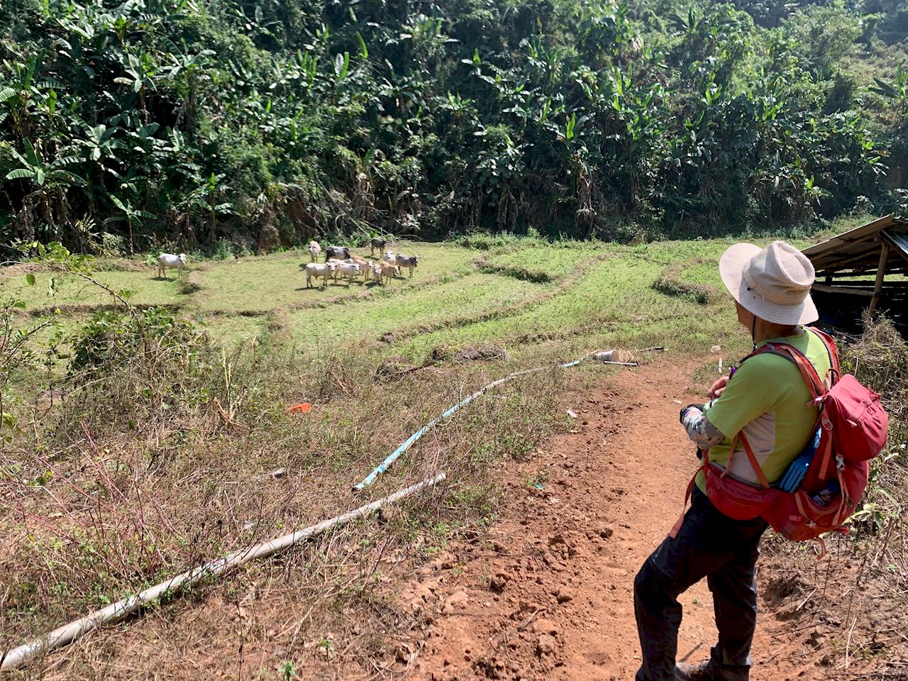
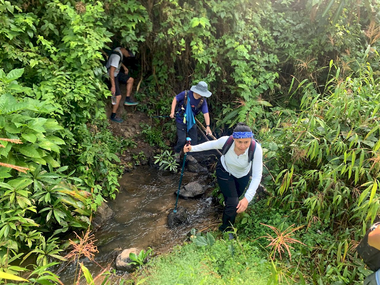
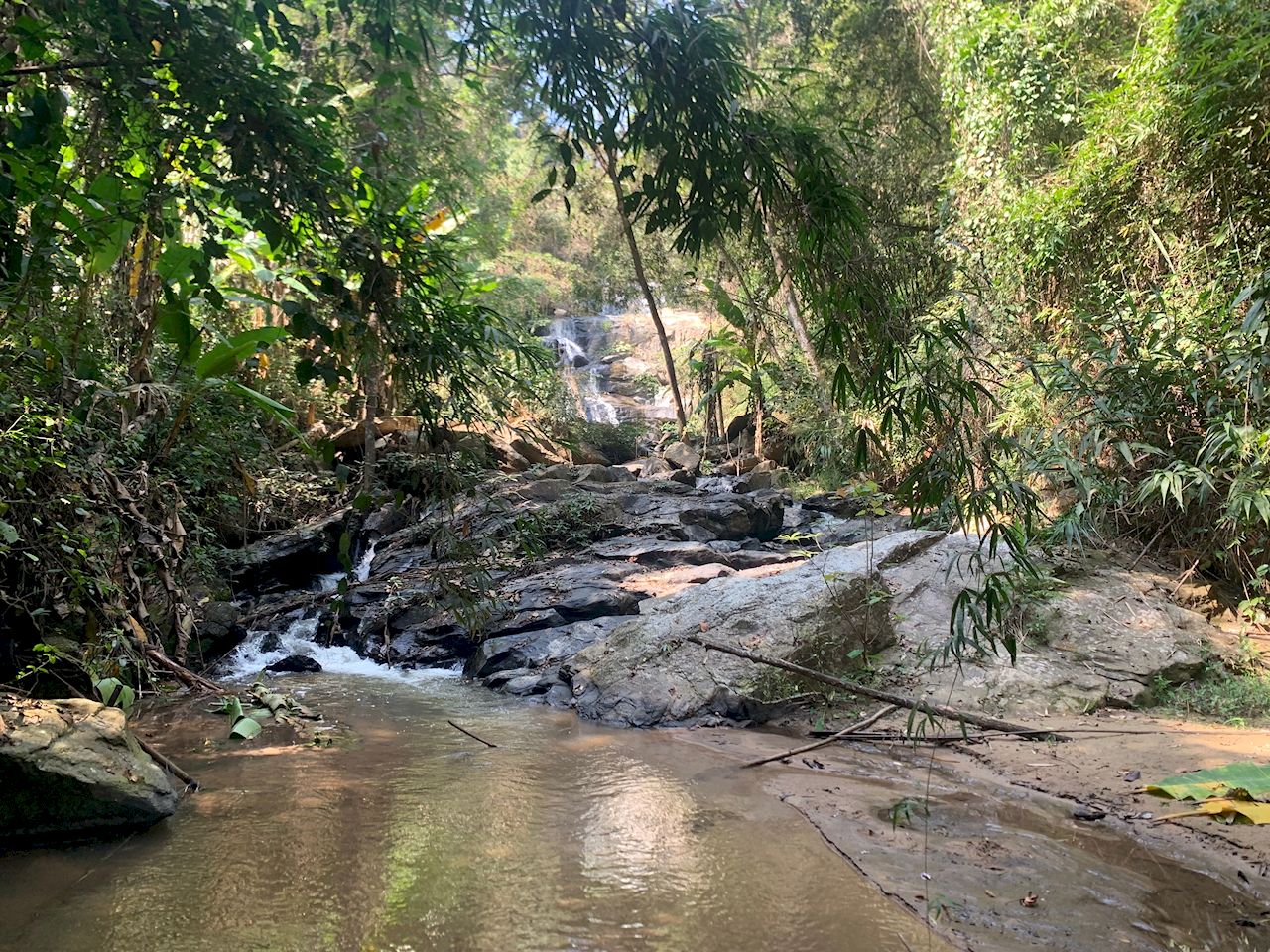
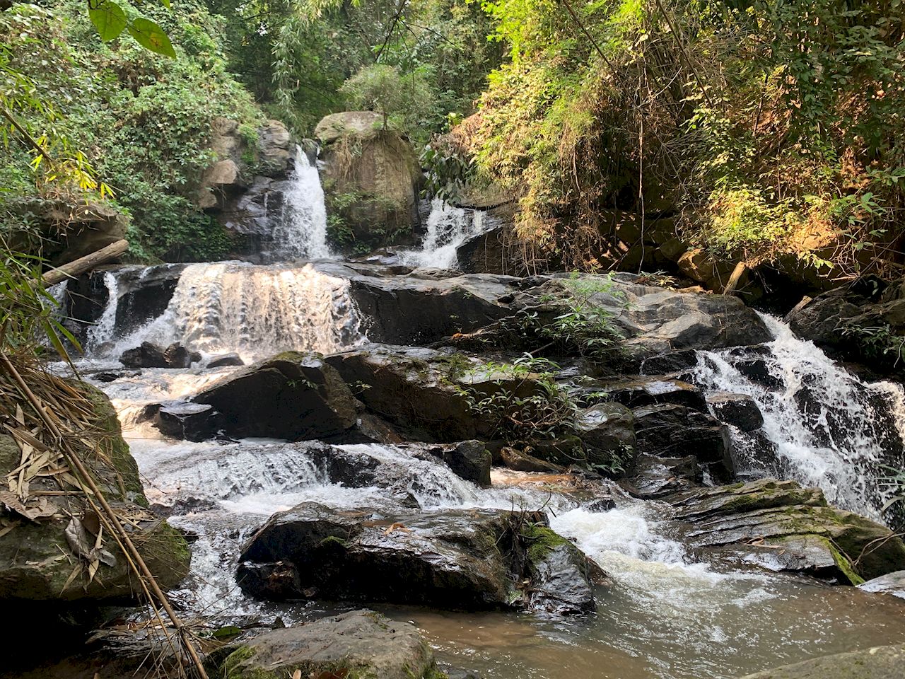
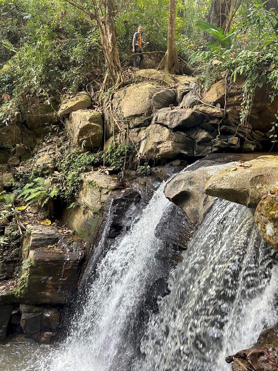
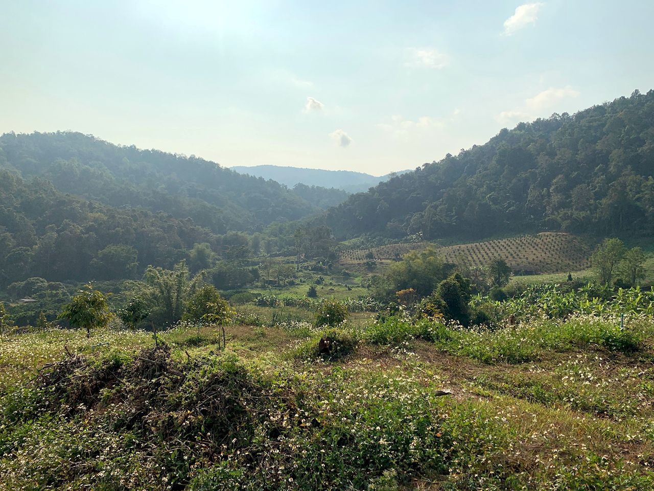
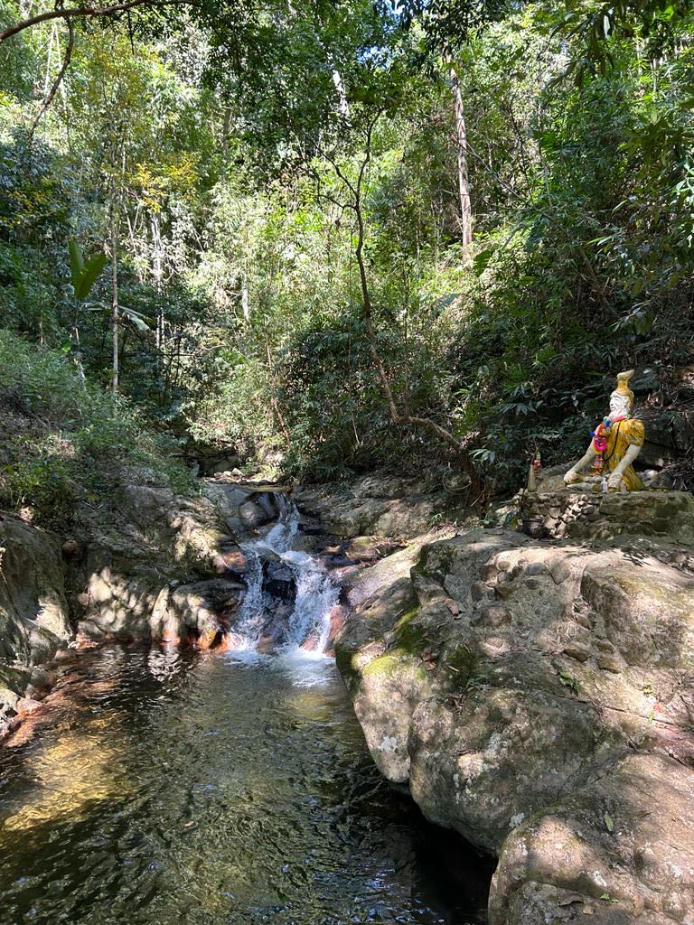
But we must go back on our trail along the Khanin valley. Farms and buffalos, then further along forest and of course the many water crossings of the Mae Khanin. Some tried to keep their feet dry, and succeeded, others did not bother and simply walked through the water.

At the lunch spot, the sala is long gone, but a smoldering campfire was there left unattended. We did the right thing and extinguished it with the water just meters away.

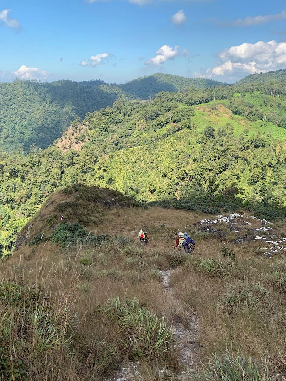
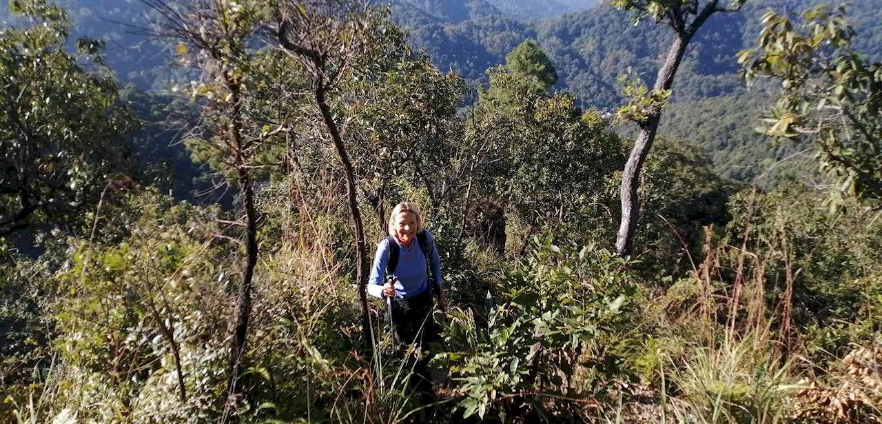
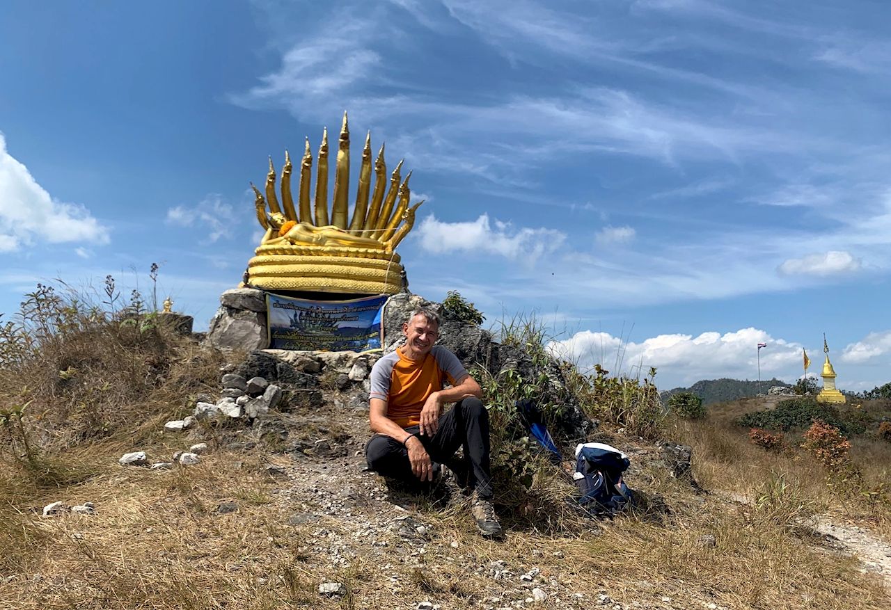
Next up was the steep climb up to our highest point. Some new bike trails zig-zagging along made the climb a little easier than along the old dirt road. From there, back to the trail head by the Royal Project.

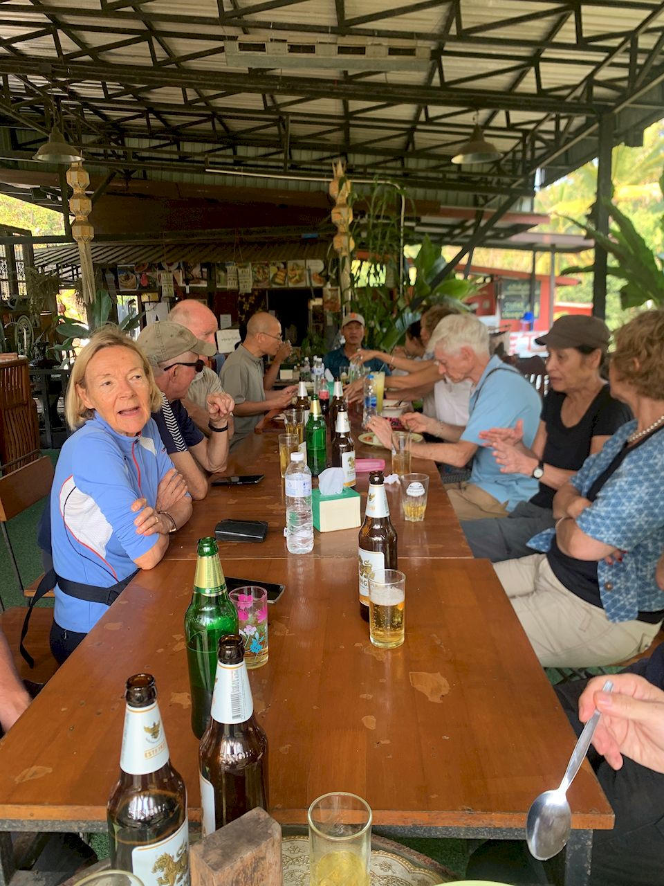
After the hike we had a nice catch-up with our friends from the shorter hike at the Royal Rosegarden.

The hike was about 11.5km with just under 300m elevation gain/loss. We completed the hike in just under 4 hours, including stops.

Hike leader & Report: Othmar

Pictures: Prae, Kurt, Jeff, Othmar

2024/04/14_Khanin Valley (Avocado) Hike

The hike is going ahead. 

This is a relatively easy hike we last did a bit over 2 years ago. We are starting from the Thung Roeng Royal Project, famous for its various types of avocado orchards (sorry, not in season now), but also cultivating many other produces.

We will follow the farm roads to an Elephant camp (always in season 😊) and will stop there for a break. Bring some cash to buy bananas if you like to spend some time and feed the pachyderms. Alternatively, there is also a coffee shop.

From there we follow a dirt-road into the Khanin valley. The first part will lead us along open farmland. Buffalos are normally in residence. A bit further, as we head deeper into the valley there will be a fair number of streams crossings. Depending on the water level, we may get across dry by resorting to some rocks hopping, but be prepared for wet feet.

We then will make a snack stop before starting the only steep part of the hike. The climb is on a dirt road and is not overly hard or prolonged. From there we return to our starting point along some more orchards and vegetable patches of the Royal Project.

After hike refreshments will be in a restaurant back on Samoeng road.

This hike is around 11km long and 310m ascent. The hiking loop should take us around 4 1/2 hours including some time with the elephants and snack break.

Hike leader: Othmar

Meeting point/time: The open area in front of Wat Wutthi Rat (Wat Ban Fon) on the ‘Southern Samong Road’ (#1269) at 07.20am for 07.30am departure. > Google Maps: https://maps.app.goo.gl/cHgJ1dqkpKrAG4eb6

Or ready at 8:00am by the Thung Roeng Royal Project parking area. > Google maps: https://maps.app.goo.gl/9N3jJzZgEQePHgqj8

If you want to join, read our general advice on the above tabs, then if you are sure the hike is for you, just turn up at the meeting point on time. No groups please. No need to let us know you are coming. Note that places in cars cannot be guaranteed but are usually available. If you need a lift, offer your driver 100 baht towards fuel costs and bring a change of clothes/shoes for the return journey.

Please bring: As per usual advice (see tabs above), especially noting:

  • Plenty of water and/or electrolyte drinks.
  • Protection from the heat (start and end sections are exposed).
  • Energy snacks and/or light picnic.
  • Some cash if you like to buy some bananas for the Elephants.
  • Plenty of energy, enthusiasm, good humor, smiles and team spirit.

2024/03/31_Short variant_Ban Mae Khi Loop

Some of us will do a short and very easy variant of the main hike (posted below), starting out with the main group, but diverging from them after about half a mile. It makes a loop — mostly in farmland and with a bit of road-walking — of about 4km with about 100m of cumulative elevation gain/loss.

The area is notable for its orange farms. (Some are open for picking, photos and purchases.) There is not much cover from high trees on this walk, so (although it is quite short and before the hottest part of the day) bring hats, other sun protection, and water.

We are expected to finish well before the main hike and do not plan to meet up with them at the end.

Leader: Michael

Meeting point: The open area in front of 700-Year Stadium (not inside) on the irrigation canal road (see satellite map below) at 07.20 for 07.30 departure.

Google Maps: Meeting place outside the 700 year stadium

Alternatively ready by the trail-head; 8:15am in the parking lot of Wat Maekhiwanaram.

Google Maps: Trail Head by Wat Maekhiwanaram

If you want to join, read our general advice on the above tabs, then if you are sure the hike is for you, just turn up at the meeting point on time. No groups please. No need to let us know you are coming. Note that places in cars cannot be guaranteed but are usually available. If you need a lift, offer your driver 100 baht towards fuel costs and bring a change of clothes/shoes for the return journey.

Please bring: As per usual advice (see tabs above), especially noting:

  • Plenty of water and/or electrolyte drinks.
  • Protection from the heat (start and end sections are exposed).
  • Plenty of energy, enthusiasm, good humor, smiles and team spirit.

2024/03/31 Ban Mae Khi Loop

Back from our short hiatus of regular, longer Sunday hikes…

The hike is going ahead.

Please assess the level of air pollution for your health and/or consider a mask.

For this year’s Easter Sunday hike, we repeat the hike we did on Easter Sunday 2 years ago; a moderate loop through the farm and forest area around Ban Mae Khi.

After meeting at the 700-year stadium, the drive to the starting point will be about 45 minutes towards Mae Rim, then along the 1096 and 4043 to Ban Mae Khi.

From the parking space we follow the road a few hundred meters before turning off towards some farms and orange orchards, then into light forest and up towards the ridge.

About 4.5km into the hike is the steepest section where we climb about 120m over a short distance. A bit steeper, but nothing dangerous.

From there, our trail is pretty flat to our snack stop junction. After a rest we start the home-run, initially along the forest road, but then steering back onto a smaller, nicer trail down into the valley.

The final stretch will be through a farm, leading us back to the initial farm road and back to the parking lot.

We were not able to get confirmation if the noodle shop will be open on Sunday, but the shop is open and has a good selectin of cold drinks and the usual packed snacks. In short, after hike drinks ‘yes’, food ‘maybe’…

Leader: Othmar

  • This hike is about 11.5km long with 430m altitude gain/loss.
  • The start and end parts are exposed to the elements, so please ensure protection from the sun and you have sufficient water/drinks.

Meeting point: The open area in front of 700-Year Stadium (not inside) on the irrigation canal road (see satellite map below) at 07.20 for 07.30 departure.

Google Maps: Meeting place outside the 700 year stadium

Alternatively ready by the trail-head; 8:15am in the parking lot of Wat Maekhiwanaram.

Google Maps: Trail Head by Wat Maekhiwanaram

If you want to join, read our general advice on the above tabs, then if you are sure the hike is for you, just turn up at the meeting point on time. No groups please. No need to let us know you are coming. Note that places in cars cannot be guaranteed but are usually available. If you need a lift, offer your driver 100 baht towards fuel costs and bring a change of clothes/shoes for the return journey.

Please bring: As per usual advice (see tabs above), especially noting:

  • Plenty of water and/or electrolyte drinks.
  • Protection from the heat (start and end sections are exposed).
  • Energy snacks and/or light picnic.
  • Plenty of energy, enthusiasm, good humor, smiles and team spirit.

2024/02/04 Report – Sai Mok Waterfalls Loop

After a slight delay due to one car getting lost on the way to the trailhead, 19 hikers took off for the loop from & back to the Sai Mok waterfall, where we caught up with our friends form the shorter hike.

Combined Regular & Shorter Sai Mok Hike Group Picture

The chosen trails for today’s main hike lead us through a variety of forest sceneries and agricultural areas including an orchard were local farmers (as they so often do) where happy to share freshly plucked oranges with us.

Some stream crossings and steeper parts lead to the unavoidable stretching of the group, but frequent re-grouping made sure we all stayed on the right track, especially important as some parts of the route are not that clear or not on any base maps..

Parts of our trails were not that obvious…

…but all arrived safely by the Sai Mok waterfalls where our friends from the shorter hike were already busy making a Splash!

After the hike, we traversed to the “Him Huai” Cafe/Restaurant for after hike refreshments. Here we were also presented with some goodies sent by our hiking friend Alan O’Shea. Thanks Alan 🙂

The hike turned out to by about 13km with 530m combined altitude gain/drop.

Hike Leadership & Report: Othmar

Pics: Bussakorn, Champ, Wichit, Othmar

2024/02/04 Sai Mok Waterfalls Loop

Yes, waterfalls in plural!

Not only is the ‘Mae Lo’ river forming the Sai Mok waterfall cascading over multiple levels, but we are also going to encounter a few waterfalls along the ‘Mae Saluang’ stream.

Starting from the large open space by the Sai Mok waterfall area we are crossing the ‘Mae Lo’ river and initially follow farm roads through some open agricultural areas.

Turning deeper into the valley, we are following loosely the ‘Mae Saluang’ upstream using a mix of forest trails, field paths, irrigation lines, crossing orchards and rice paddies, whilst gradually gaining altitude.

There are some short, more ‘adventurous’ bits along our trail; following riverbeds, a few water crossings (which we managed all without getting wet feet), and a few steeper sections up and down.

We then return again onto farm/forest roads of various terrains for the home stretch. For the very last bit we follow a dry creek bed towards the thundering upper Sai Mok waterfalls. There are actually a number of falls which we will be able to enjoy from a couple of vantage points along the final 200m or so.

After the hike, we will move down to the ‘Him Huai’ cafe/restaurant for refreshments.

Hike Stats: This hike is about 13km with 530m combined altitude gain/loss.

Hike Leader: Othmar

If you want to join:

Make sure you have read the general advice on this website as well as the specific hike details in this post. If you still think this hike is for you, just turn up at the meeting place on the day, on time. No need to inform us in advance, but we cannot accommodate groups. Lifts are usually available but can’t be guaranteed. If you need a lift, please bring a change of cloth/shoes for the return trip and offer the driver THB 100 towards petrol etc. for the return trip.

Please bring: as per usual advice in the tabs above, but paying particular attention to the following

  • Good footwear, there are a couple of steeper trails.
  • Plenty of water and/or electrolyte drink.
  • Rain gear and sun protection. Part of the trail are across open farmland.
  • Some food to snacks or light lunch.
  • Lots of enthusiasm, some humor and happy smiles.

2023/12/31_Report Doi Lanka Noi ‘classic’ loop

One of our favorite mountains on a classic route. 16 hikers (plus 2 local dogs). Perfect weather with great views.

No point to write a big report, let the pics speak for themselves…

A fantastic day spend with good friends in our marvelous nature.

Special Thanks to the hikers from the shorter hike for driving all the way to the coffee shop in Ban Mae Ton Luang to catch up with the main group hikers.

Hike Stats: 10.7km with 670m altitude gain/loss.

Photos: Dennis, Mona, Rung, Othmar

Hike Initiator & Report: Othmar

2023/12/31_Doi Lanka Noi ‘classic’ loop

A New Year’s Eve hike;
Doi Lanka Noi is pretty popular with hikers in Chiang Mai. We haven’t done the ‘classic’ loop with this group since 2020. There was a hike with a different descent in 2022 and an entirely different route from another direction to the peak earlier this year.

It is time to do the ‘Classic’ Doi Lanka Noi loop again!

The first km is pretty flat, consider it your warm-up. Then the hard part starts. Allmost all of our ascent is done over the next 2.5km.The last bit is a scramble up a rocky outpost. There is a good trail, but care must be taken as there are steep drop-offs (an alternative longer trail exists avoiding the rocky part, but still quite steep).

If the weather plays along, we should be rewarded with a sweeping 360 degrees view around the surrounding mountains. Here we shall take our well-deserved snack break.

The way back down has also a steeper section but is gentler. From there we get some of the best views back to the peak we just mastered.
Once we reach the valley, there are a few stream crossings. Given we are out of the wet season, chances are we keep our feet dry, but be prepared for the alternative…
The last stretch is on a good, unsealed forest road, then up the road back to the trailhead in the village.

Hike Stats: This loop is just under 11km with about 700m altitude gain/loss, but you need to be reasonably fit for the steep prolonged ascent (500m up over 2.5km).

Hike Leader: Othmar

  • Or by the Trailhead in Ban Mae Ton Luang by the Wat Mae Ton at 8:30am:  https://maps.app.goo.gl/Y65cAWQRpKAJaTaG6
    • Note: The Thepsadej Coffeeshop is nearby if you are a bit early and need a caffeine fix.

If you want to join:

Make sure you have read the general advice on this website as well as the specific hike details in this post. If you still think this hike is for you, just turn up at the meeting place on the day, on time. No need to inform us in advance, but we cannot accommodate groups. Lifts are usually available but can’t be guaranteed. If you need a lift, please bring a change of cloth/shoes for the return trip and offer the driver THB 100 towards petrol etc. for the return trip.

Please bring: as per usual advice in the tabs above, but paying particular attention to the following

  • Good footwear, there are a couple of steeper trails.
  • Hiking poles may be handy for the ascent/descent from the ridges.
  • Plenty of water and/or electrolyte drink.
  • Rain gear and sun protection.
  • Some food to snacks or light lunch.
  • Lots of enthusiasm, some humor and happy smiles.

Wishing All our hiking friends a very Happy, Healthy and Peaceful New Year!