Elephants, avocados and time to ‘smell the roses’…
No fires but with the air still in a less than optimal state, 6 hikers joined the hike from the Thung Roeng Royal Project. We made good progress in the morning when the heat was not yet at its fullest.

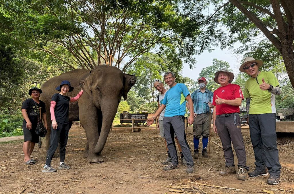
Arriving at the ‘Patara Elephant Conservation’ camp before any other tourists, we spend some baht on food for the elephants. Local celebrity elephant ‘Mira’ and her mother came and enjoyed being feed fresh bananas, and we enjoyed feeding them; a win-win!


A visit to the coffee shop was on order as well. Whilst the avocados at the Royal Project are nowhere ready, here we got avocado ice-cream and avocado smoothies to go with local coffee.
But we must go back on our trail along the Khanin valley. Farms and buffalos, then further along forest and of course the many water crossings of the Mae Khanin. Some tried to keep their feet dry, and succeeded, others did not bother and simply walked through the water.
At the lunch spot, the sala is long gone, but a smoldering campfire was there left unattended. We did the right thing and extinguished it with the water just meters away.


Next up was the steep climb up to our highest point. Some new bike trails zig-zagging along made the climb a little easier than along the old dirt road. From there, back to the trail head by the Royal Project.

After the hike we had a nice catch-up with our friends from the shorter hike at the Royal Rosegarden.
The hike was about 11.5km with just under 300m elevation gain/loss. We completed the hike in just under 4 hours, including stops.
Hike leader & Report: Othmar
Pictures: Prae, Kurt, Jeff, Othmar
Filed under: All posts, Hike Reports | Tagged: Buffalos, Chiang Mai, Elephants, Hiking, Mae Khanin, Mira, Patara, Royal Project, Stream | Comments Off on 2024/04/14_Report Khanin Valley (Avocado) Hike

